Pappfalva 2
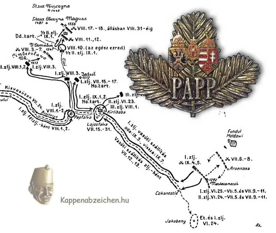
This small village on the border of Bukovina and Hungary, which may have been named after Colonel Dániel Papp, was mentioned in a previous post. I recently noticed a sketch of a map in the memorial book of the 29th Honvéd. At last, Pappfalva is mentioned by name on this map, so the location of the settlement can now be clearly identified.
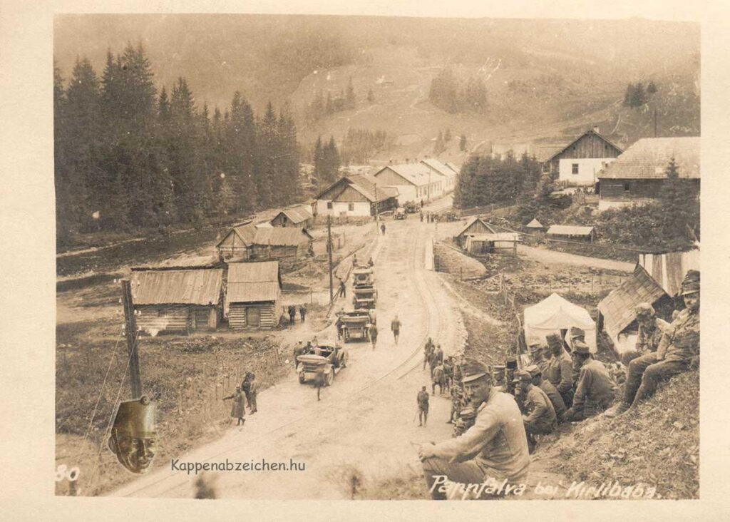
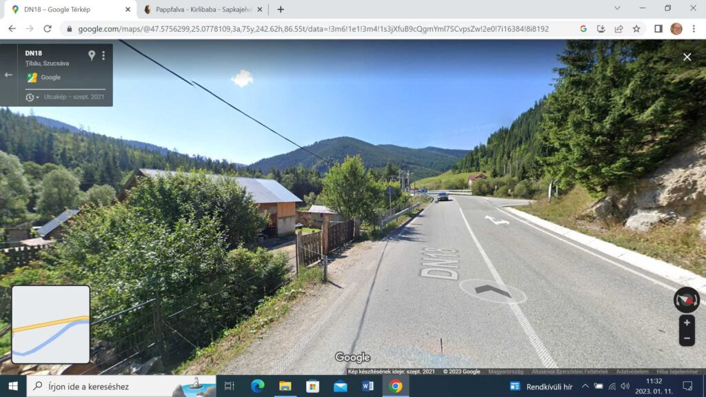
As we can see, the village of a few houses was at the confluence of the Cibó stream and the Aranyos Beszterce. So, it is indeed next to the Borsa-Jakobeny railway, but not in the previously suspected section, but in front of Kirlibaba. There was also a smaller access road along the Cibó leading to the strong point of the front line, the Capul and Jedul mountain peaks. On today’s picture, I think we can recognize the landscape that we see on the postcard from 100 years ago. The Aranyos Beszterce flows to the left. Opposite us is the intersection, the road into the Cibó valley, towards Capul. To the right, the steep bank is the same as where the honvéds are sitting in the old picture. The Cibó bridge can be seen in the middle of the picture.
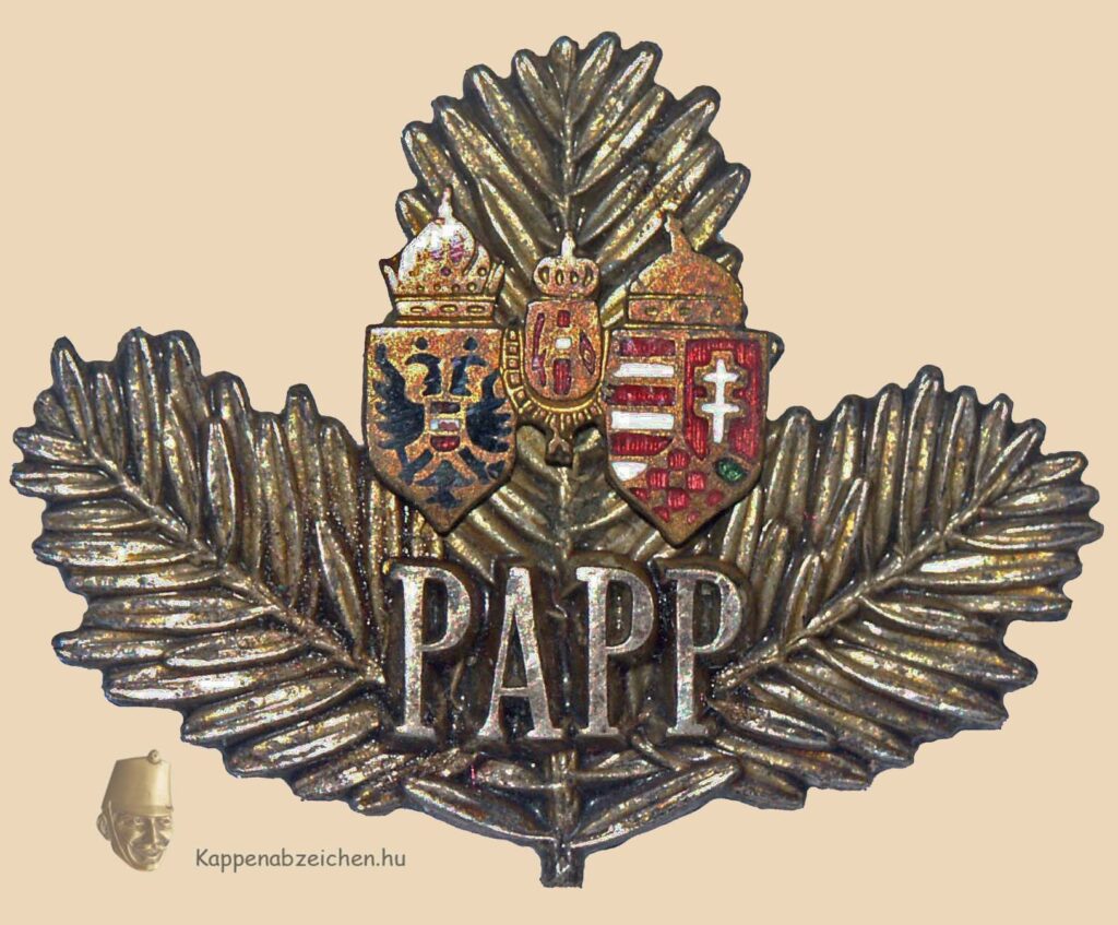
The place was the district of the 40th Honvéd Division for a long time. Even the camp newspaper was named after the Cibó stream. Based on this, I do not really believe that the colonel commanding the Papp brigade could have been the name-giving person. The brigade was positioned further south, near the settlement of Kirlibaba. However, since I cannot insert anything else, more suitable, I am attaching a Papp badge also here.
