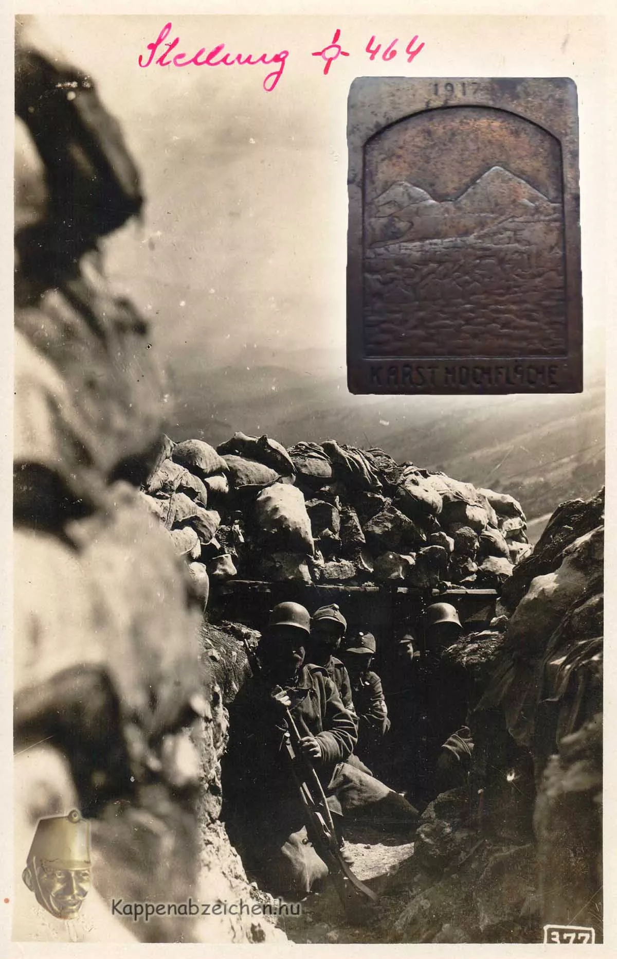
Carst plateu – Doberdó
The Italian front, which opened in 1915, had several front sections, each with a different character. In Tyrol, the fronts were mostly located between the peaks of high mountains, or in narrow passes between the peaks, which were mostly protected by fortresses. Further east, the mountains of Carinthia showed similar terrain. The Isonzo was the largest river near the border, with narrow valleys in its upper section, while the lower section had much larger and more extensive valleys. The estuary area was no longer mountainous, but rather hilly, more suitable for agricultural cultivation. Here, on the eastern bank of the river, lies the Karst plateau, the famous Doberdó battlefield.
The Karst is a hilly region, rising 100-120 meters above the river, and beyond the edge is flatter, with a highland character. Since there are no deep ravines or high peaks, it was easier for troops to move in this area. Moreover, one of the important Italian military objectives, Trieste and the Italian-populated areas of Istria, could be attacked in this direction. Therefore, the main direction of attack for most of the Italian campaigns was this area. Between May 1915 and August 1916, the front line stretched along the edge of the plateau. In the 6th Battle of the Isonzo, the Italians managed to push the front back by 20 km, to the central part of the plateau, to the front line of Fajti Hrib, Kostanjevica, Hermada.
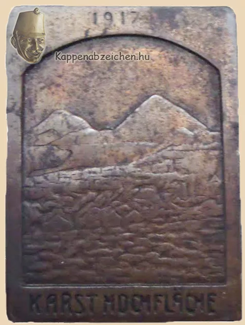
The picture attached to the post depicts a detail of a trench on Fajti Hrib in 1917, vividly showing the improvised, shallow positions formed with great difficulty on the rocky plateau. The enemy could see into these from the heights in the background, so daytime movement in them was very dangerous. The attached badge is less detailed, we do not see trenches on it, only a landscape similar in nature to the photo. In the difficult conditions, both sides suffered huge losses