Seisera
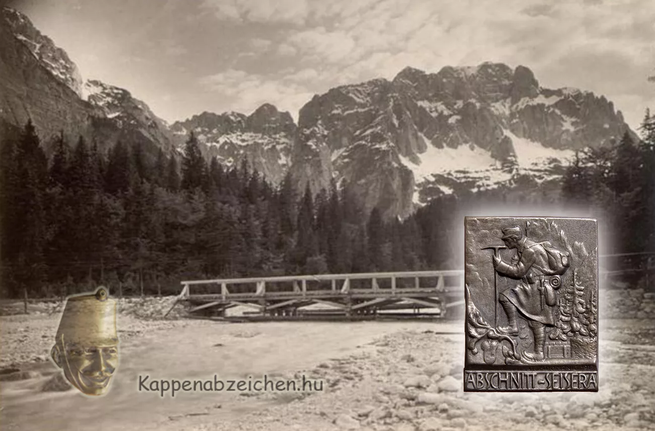
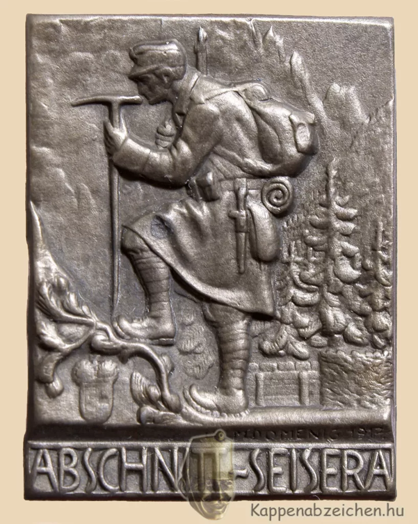
I managed to solve a puzzle again. Of course, it may have been unknown only to me, but until recently, when internet diving is booming, it was very difficult to find information on very specific geographic names. One such name was Seisera. The badge is very beautiful, a coveted piece for every collector. The image of the soldier with high-altitude equipment on it is detailed and finely crafted. The equipment, of course, shows that the lanscape of the badge must be sought somewhere on the Italian front. But where?
While searching for the high-mountain troops, it was not by chance that I came across not only photos, but also descriptions of events. For example, in September 1916, it became necessary to climb a steep peak of 1933 meters, because from this point it was possible to see the Italian positions on the upper reaches of the Dogna river. There, artillery was stationed, which could fire on the city of Tarvis. The report on the exciting action can be read here. In the attached picture, the valley at the foot of the mountain is called Seisera. This was the first clue.
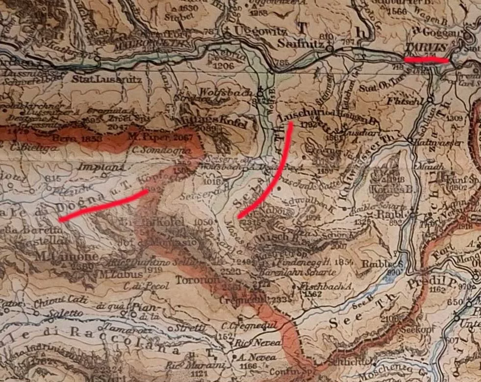
The Montasch mountain, the Dogna stream and Tarvis helped me find the Seisera valley as a kind of triangulation task. This ran along the old Italian border on the Austrian side, in the western foreground of the Julian Alps. As it turned out later, there was a fortress in the valley. Of course, it immediately became clear that it was also on my maps of the time, but without proper orientation I could not find the place earlier.
The Seisera valley today offers the opportunity for extremely beautiful high-altitude hikes. The remains of the positions from that time can still be found in many places, as the trenches, battery positions and bunkers were all built into the rocks of the surrounding mountain ridges.

